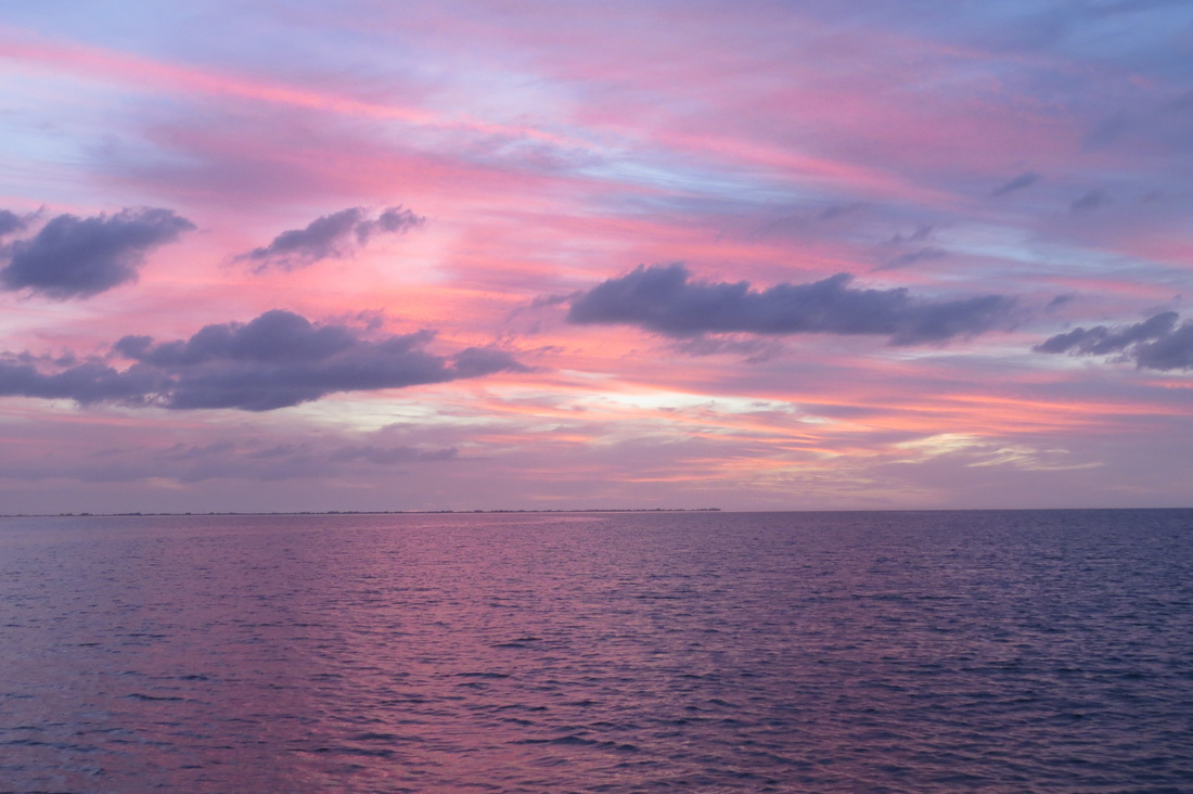
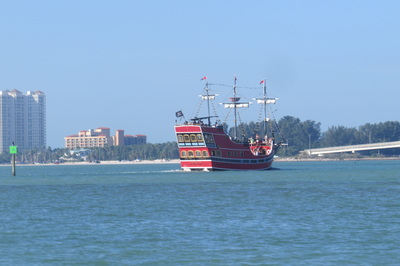
Libbey and I are celebrating the new year in Englewood with her mom Gloria and sister Mary. Gloria will be spending the next two months at the resort and Mary will fly back to Denver next week. Libbey and I will visit for a week or so before striking south. Over nighting at the resort docks is not allowed so I'll push off from the dock and anchor out at night. Logs and observations follow with photos at the end.
#Day 137 12/18 Suwannee River. Lunch and Wifi at Treasue Camp in Fowlers Bluff. Cool and breezy-wood stove in restaurant was welcome. Anchored down river DE3533
Day 138 Suwannee River Overnight temp in 30's, 50's during day. Breezy, we'll be windbound for another day or two. Cat fish for dinner (Hard heads) DE 3538
Day 139 Suwannee River Cool and breezy, tried for trout and reds in delta, no luck water still warm out on the flats. Dinner and dock at Salt Creek Restaurant. DE 3543
Day 140 to Crystal River. Sunny SE 5-10. Marina prices jumped to $2/ft plus $5 for electicity. Anchored out. Received wrong part for windlass. DE 3614
Day 141 Crystal River. Cruised Kings Bay. Tied up at Pete's Pier and walked into town for groceries and Thai lunch. DE 3617
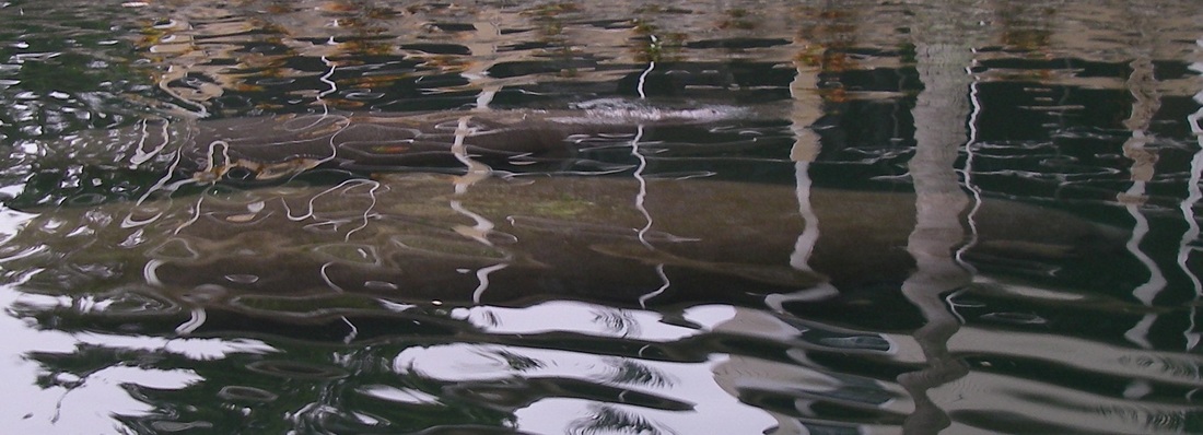
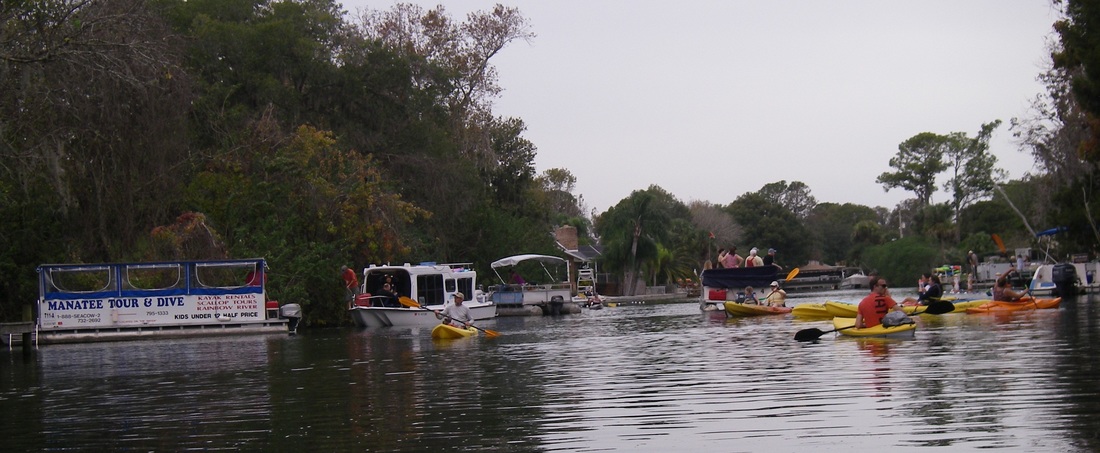
Day 142 Crystal River. At anchor. Warm gray day. Manatee watching by kayakk in Three Sisters Spring outlet. Crowded!
Day 143 To Tarpon Springs. Partly cloudy and calm. Crowded harbor. Lunch at Greek restaurant-great gyros and soulvaki. Walked from restaurant dock around town, bought sponges-locally harvested. Anchored by Anclote River Park below town. DE3693
Day 144 Christmas. Hot and sunny. Walked in park after breakfast, then motored downriver to Dunedin Harbor where we anchored and swam. Phone calls with family, leftover Greek, Cointreau night cap. DE3708.
Day 145 To Tampa Bay. 75 deg with light wind. Extremely heavy boat traffic, lots of poor seamanship observed, mostly passing too close (often less than 15 feet away and boats larger than 30' LOA) at high speed. Found wild secluded anchorage on SE shore of Tampa Bay by Rattlesnake Key. DE 3749
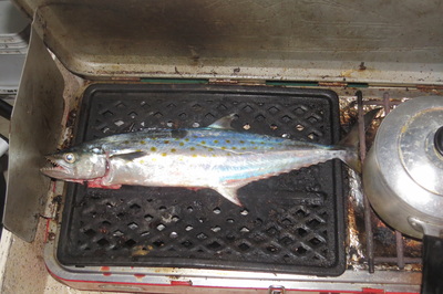
Day 149 At anchor. Kayaked into Miguel Bay SE 15-20 85 deg. Caught 18” Spanish Mackerel-excellent on the grill
Day 150 to Whites Beach 10-15 SE. 75 degrees. Anchored by Sisters Key. Kayaked up Bishop Bayou for groceries. Current guide book inaccurate-store closed 3 years ago. Ice at nearby restaurant. DE3762
Day 151 to Bird Keys, L. Sarasota Bay. Sunny with light breeze. Heavy and reckless boat traffic again. DE 3784
Day 152 to Englewood. 80 degrees and little wind. Anchored off Indian Mound State Park and kayaked ashore for groceries. Anchored inside Stump Pass. DE 3805
Day 153 Cruised Lemon Bay returned to Stump Pass anchorage. Mostly sunny and hot with light breeze. Chatted with Minnesota loopers in Rosbourough 246. Caught 4 catfish DE 3816
Day 154 New Years Day. Hot and sunny. Offshore to fish artificial reef and fish haven. Small sand perch and jacks, lost nice spanish mackerel at boat side.
Anchoring out
“Did you spend the night at the marina or did you anchor out?” That's a very common question loopers ask each other when they chat. As I mentioned in an earlier post, it seems lots of folks mostly spend their nights tied up in a slip at marinas and a few like us mostly anchor out.
I know of two ways to find an anchorage. First is to use an anchorage that somebody else used and you learned about from a guide book, website or word of mouth. This has the advantage of some prior experience and with a good description can greatly aid your cruising plans. However the information may well be inaccurate or may or may not be relevant to your boat or the conditions you face on the night of your trip - boater beware!. On our passage down the Tombigbee River we picked up a list of suggested anchorages at the marina in Demopolis that some boater had shared. Suffice to say, my taste and safety considerations for anchorages differ greatly from the author.
The second way to find an anchorage is to discover it for yourself and this is what I almost always do. This doesn't necessarily mean you'll be first to anchor there, lots of good anchorages are pretty obvious and you'll sometimes end up sharing with another boat. That's no problem, simply give each other as much space as possible and help maintain the peace and quiet particularly at either end of the day e.g. turn off your generator Moondancer.
To find an anchorage a number of tools are handy. I use a chart or map, a tide table if on the salt, a depth sounder/chart plotter combo unit, and a weather forecast. Google Earth would be handy in finding anchorages that have the wild shorelines that I prefer but I've only used it that way a time or two.
Leaving the scenic considerations aside for now, I'll share my thoughts on safety and comfort, focusing on inland waters for this discussion. There are times when a sheltered anchorage is essential and there are times when maximum exposure to the breeze are welcome particularly since Laughing Gull lacks air conditioning. Boating across the Erie and Trent Severn Canals in the heat and bugs of August we often sought wide open anchorages. Spending a night in a sheltered anchorage or marina would have been really unpleasant. I never anchor without considering a current weather forecast.
Safety concerns focus on protection from wind, current (and the debris it may carry), and other vessels. This last consideration was largely new to me on our loop. While of course I never anchored in a busy channel I'd never had to consider heavy barge traffic. Starting at the Chicago Sanitary Canal and extending to the Gulf of Mexico, barges and their attendant tugs (more accurately push boats but most folks call them tugs) travel the waterways 24/7. These “tows” are often 100 feet wide and in excess of 600' long depending on the number of barges coupled together. Obviously these tows are “restricted in their ability to maneuver” and always have the right of way while underway. Anchoring where the tows don't go is essential to a good nights sleep at a minimum. Except when mooring, tows always operate in the main, often marked channel.
Needless to say, anchoring out of the channel is the best solution. One of my favorite strategies is to anchor on the shoreward side of a buoy hopefully far enough inside that the boat can't swing into the channel with a breeze. Early in the trip while anchored shoreward of a buoy on the Illinois River I asked over the radio a passing barge skipper if I was in his way. In a strong cajun accent “long as you anchor outside the buoy line you'll be fine” was his reply. Sometimes a bit of current can help but I try to avoid exposure to the main thrust of the current because the inland rivers often carry downed trees which can be a hazard. Fortunately the current was mild when the Tensas River lodged a 30' tree on my anchor line one fine November morning. Thanks again to the crew of Leeloo for standing by while I cleared the line.
To find an anchorage on the rivers I would look for islands on the map which might offer a back channel. Generally only the main channel is marked for navigation so even deep straight back channels are good choices. Another good choice are bends in the river. Tows, the strongest current and debris tend to travel to the outside of the bend so anchoring on the inside is best, hopefully behind a buoy. Often a shallow sand bar will form on the upstream side of the inside of the bend. The downstream end of these bars often make superb anchorages.
A final type of anchorage are less traveled tributaries-streams, bayous etc. Because their depths are usually uncharted, explore slowly and against the current or wind. Because only the main channel is mapped for depth on most of the rivers, leaving the channel has to be done slowly and cautiously with a sharp eye on the depth sounder. When boating down river and I spot a likely back channel or bend to spend the night at I go past and then proceed into the current. Its a lot easier to un-ground a boat when the current or wind helps push you off rather than onto whatever you're stuck on. I like to find a depth where a change in depth can be accommodated. We anchored one night on the Tennessee River when the water dropped perhaps 2 feet. A month later we anchored on the Tombigbee river when heavy rains were predicted to raise the water level by 8 feet (didn't happen). In tidal water the range of the tide must also be accommodated.
Another factor in anchoring is whether the anchored boat will “answer to” i.e. point her bow into, the wind or the current. Its more convenient if both are going in the same direction but that is often not the case so it is a good idea to find protection from one or the other. If the wind and current are opposed and of equal effect the boat will lie cross wise and rock in the chop. These forces also come into play to affect your view and comfort. The course of the Tombigbee River crawls across the Alabama landscape like a snake. We cruised the river during an extremely warm spell and often saw temperatures well over 80 degrees, hot by our Maine standards. We quickly developed the habit of anchoring where the current flowed north. This put the bow into the sun and allowed us to enjoy the shade of the wheelhouse and a glare free view of the river over the transom.
I favor over sized anchors. Laughing Gull's Manson Supreme weighs 25 pounds and is rated for a 45' boat (LG is 24' LOA). While I generally deploy the standard 5:1 rode to depth line, I find great comfort in knowing that I can safely shorten the scope in a tight anchorage or still be okay if the river rises in the night. I use 15 feet of chain and carry 600' feet of 8 plait Brait rope. A Maxwell HRC-8 windlass, again oversized, retrieves the rode and anchor. As I write this, wind bound on the Suwanee River, I have learned that a pressure plate for the windlass is an essential spare. I have two pressure plates (one replacement, one spare) and a mechanic waiting for me in Crystal River tomorrow. Hauling a 25 lb anchor and chain by hand is doable but not my idea of a good time.
Skinny Water
Growing up in Maine, many of my early experiences on saltwater were on Passamaquoddy Bay on Maine's eastern border with New Brunswick. The waters run deep and tides run strong there. Depths of 100-300 feet within a few hundred yards of shore are common and every month on the full moon the tides exceed 25 feet in range. Hand lining for cod and haddock from the family dory was one of the great times of those Maine summers.
After I took early retirement from Maine's Bureau of Parks and Lands in 2007, I spent the following three summers working as a wildeness saltwater fishing guide in Alaska's Tongass National Forest out of Ketchikan. The waters of this inside passage are even more dramatic than Passmaquoddy Bay. I knew a spot where I could put the bow of my guide skiff ashore and the depth finder would read 300 feet of depth from the transom mounted transducer. Again the tidal range approached 30 feet.
While I've done a number of Florida boating trips, my experience is mostly in the south, ranging from the Ten Thousand Islands through the Everglades to the Keys. There is certainly skinny i.e. shallow water there. This is where I was first advised that it was so shallow I'd need to stay up on plane to get where I wanted to go-a thoroughly frightening concept for someone with my background. Suffice to say, I'm more comfortable with a nice bit of water under my keel.
However Florida's Big Bend is super skinny water. From Carrabelle around to Tarpon Springs its necessary to run miles off shore when paralleling the coast. The shore can only be safely approached from within the confines of a marked and usually dredged channel. While this makes for inconvenient boating and requires good weather, I'm sure that these shallows have done much to protect the character of the area. There are miles of lovely wild shorelines and the towns tend to be smaller and have the old Florida feel to them. St. Marks, Suwannee and Tarpon Springs are easily some of our favorite towns so far on the trip.
They say that in this part of Florida the water gets a foot deeper for every mile you go offshore. In a funny sense this is often true. A number of times I noted that to boat in three feet of water I needed to be 3 miles from shore. Beyond that the water often dropped to 8-10 foot depths but of course once you're beyond the three mile limit you're not in Florida anymore.


 RSS Feed
