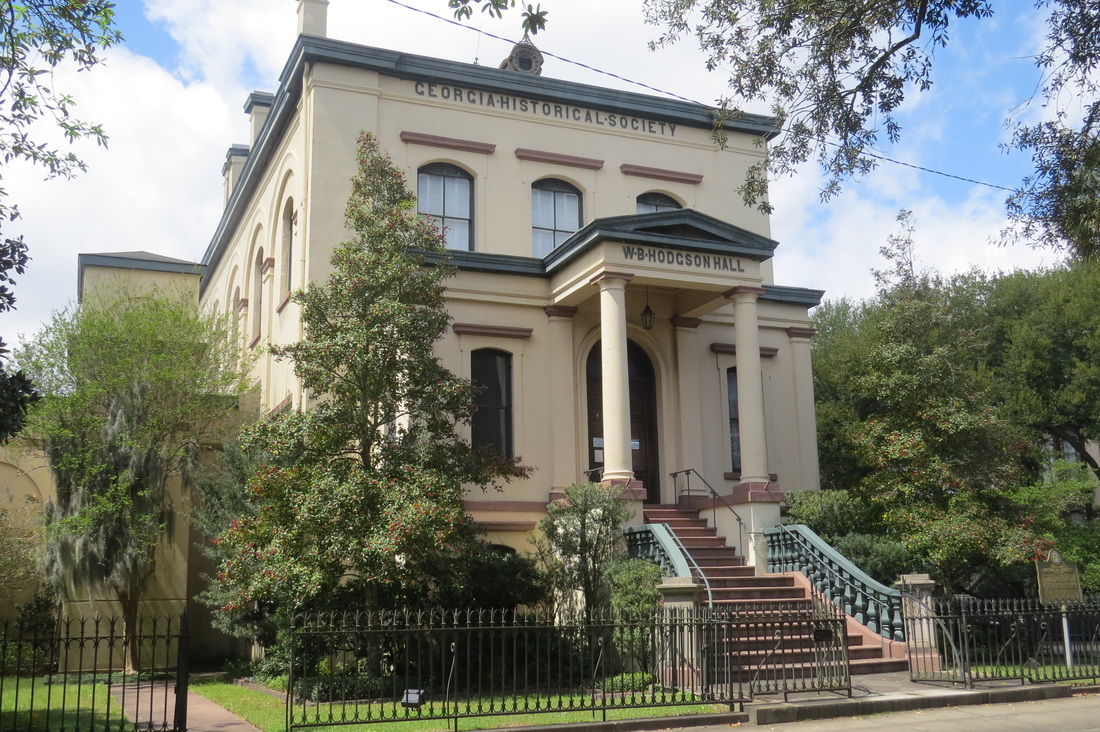
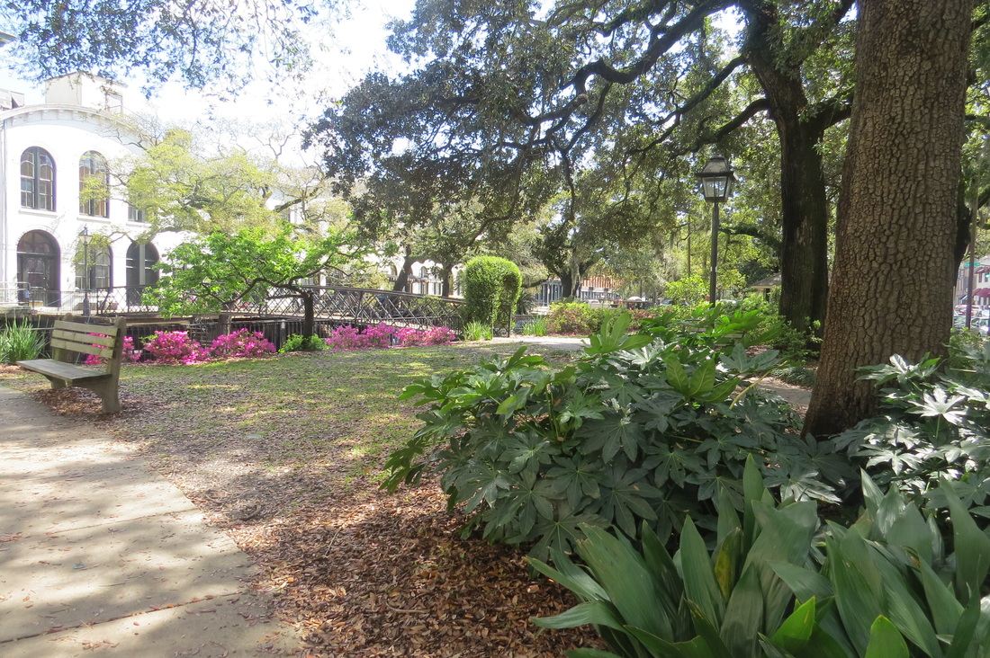
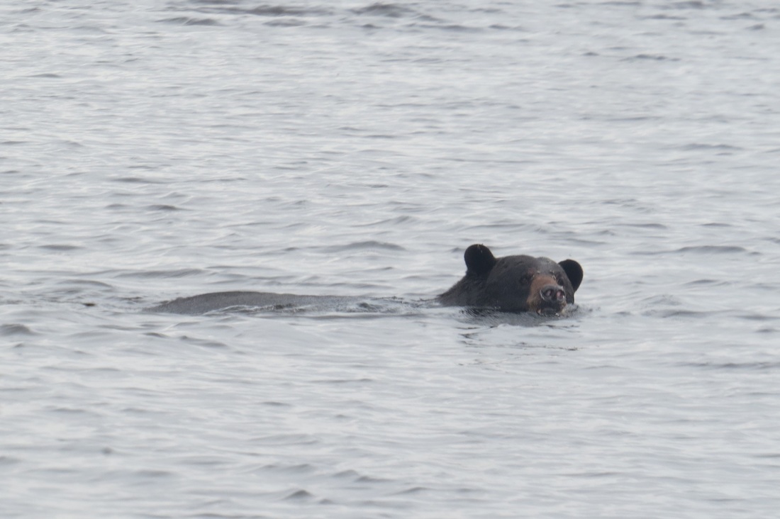
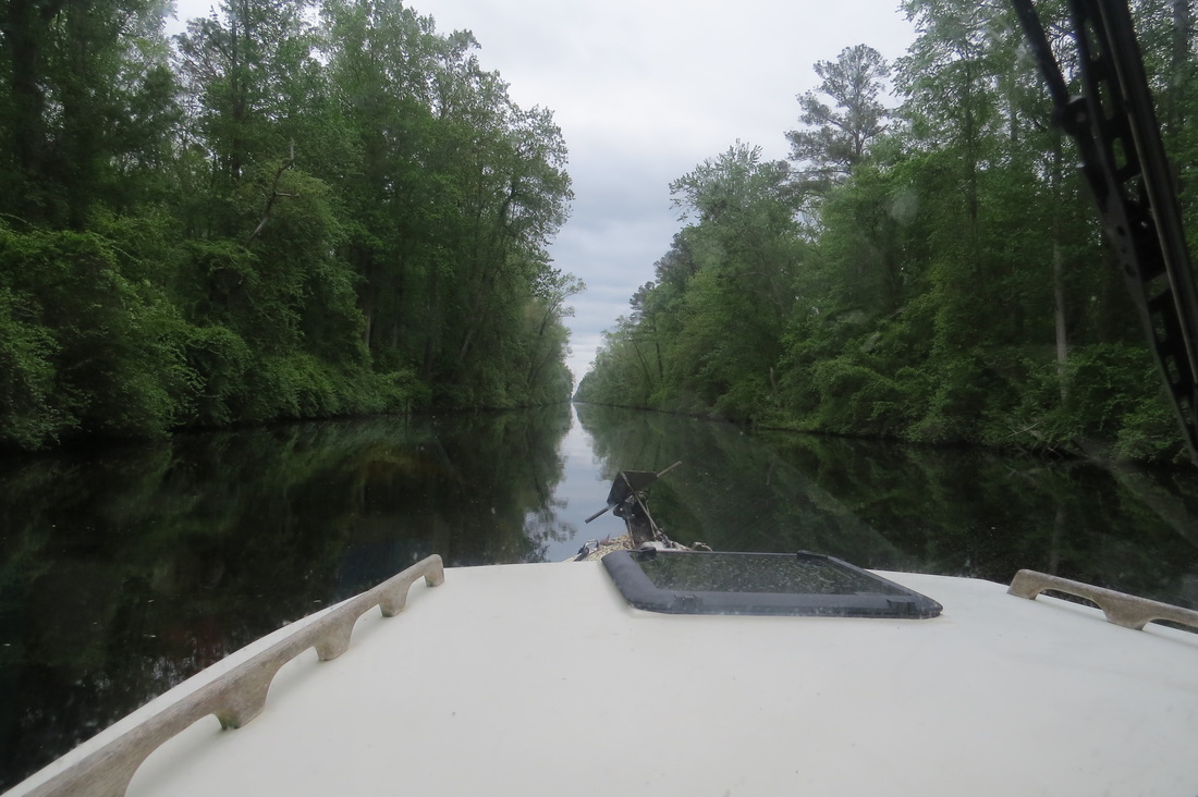
| 3/27-29 While the grey skies did not clear, there was little rain and the beauty of the mashes amongst the Georgia Sea Islands continue to amaze-one of the more delightful surprises to date. The marsh grass is just high enough so that its impossible to see over them from the helm. Libbey often stood on the gunwales to enjoy the expansive view as we cruised along. A maze of deep channels and canals connecting them would have been a navigation night mare if not for the well marked ICW route. Would love to visit again when the water was warmer and the fish are biting. The usual refrain from the locals “you should have been here last week, the fishing was great” was changed to “you should have been here next month, the specs and the reds will be unbelievable!” We booked a night at the Isle of Hope Marina (a fine marina and a lovely old small town) and took the bus into Savanah. While not a city person, I have to say I was struck by the beauty of this city, particularly its lovely parks and squares. We spent a fine day walking and trolleying from park to park by way of beautifully kept historic homes and mansions. After a quiet supper at the marina we did a little laundry and grocery shopping the next morning and struck north into the South Carolina low country 3/30-4/3 Our first night in the aptly named low country was spent on St. Augustine's Creek a deep wide marshy creek off the ICW. One of the immediate differences between SC and GA is that more of the rivers, creeks and back channels seemed to have manes on the chart in SC. Its not uncommon to be on more than a dozen different named rivers and creeks in the course of a days travel. Small wonder why many folks simply refer to a location as mile 123 or whatever on the waterway. Another day of slow cruising through the marshes and we anchored early on Jarvis Creek when it breezed up hard just before we needed to make a big crossing of Port Royal Sound. We scooted across Port Royal Sound on calm seas the next morning and ran up the river to Beaufort. In SC they pronounce it “BewFort” as opposed to “Bofort” NC. In SC they've not heard of “America the botiful”. Beaufort is a lovely town with a historic district full of grand old mansions with stunning landscaping. We shared shrimp po'boy and rib eye steak sandwiches at the Produce Market and Cafe and called it a fine visit before we anchored across the river on a back channel of Factory Creek away from the houses and the nonexistent factories. We woke the next morning to dolphins chasing fish all around the boat. We watched them dart and zip after their breakfast while we enjoyed ours. We hauled anchor and ran across St. Helena Sound well ahead of an approaching thunder storm. With gusty winds in the fore cast we poked our bow a few miles up the winding channel of Rock Creek and dropped anchor along a wild wooded shore. The boaters of Rock Creek are certainly among the most polite we've encountered on our loop to date. Not one of them zipped by on plane and “waked” us. Everybody slowed down and gave us a friendly wave. As predicted winds were 15-20kts and gusting the next morning so we had a second cup of coffee and broke out the books for a few hours. The breeze dropped in the afternoon so we chugged 7 miles up to Church Creek, the last good anchorage before Charleston. 4/3-4/17 Please see “A bump in the road” post below 4/18-21 Underway from Charleston. A new routine, while until now Libbey has mostly driven while I exercise or take short breaks, we're now an hour on and hour off. Works great, wish we'd started this sooner. A warm sunny day and light breeze and boat traffic made for a pleasant crossing of Charleston Harbor and we made good progress up the ICW before anchoring on Awendoo Creek. When we were boating down the inland rivers, spotting another boat flying the looper flag was pretty common and a good occasion to strike up a conversation. When we hit the gulf everybody seemed to scatter and flags were seen far less often. Well, we're apparently back in sync with the pack for these few days we started seeing lots of looper flags and had a number of good chats with folks. When we're cruising at 6-7 knots (best economy and very relaxed) we're slower that most cruisers. When we run on plane at 15-18 knots (wanting to get somewhere at a certain point in time) we're faster than most loopers. 4/22-25 These days tend to blur together. Someheres in here we pass through the heavily developed SC/NC boundary amidst the McMansions and condos that I 'll enjoy forgetting and get intro the wilder and lovelier northern NC. I'l not soon forget the sight of our anchor dropping overboard when the swivel pin let go one sunny morning in Swanboro. This despite the mechanic's application of loc-tite to the threads a few weeks back on the St. Johns River. We've got 2 spares so we'll look for a good chance to replace the excellent performing Manson 4/26-29 Arrived Oriental NC, “Sailing Capital of NC” and a nice friendly small town. Our hull is badly crusted with shell growth and her top speed has been reduced to 15 knots. We had made an appointment at Deaton's Marine Service to haul and scrape and the crew did a quick and excellent job. We took a a slip there for two nights to wait out a blow that didn't happen but we enjoyed the down time and exploring the town. The yard even had a loaner car which has been rare since we hit the salt water so we got a number of errands accomplished. We got an early start the next day and ran on plane all day(106 miles)-wanting to get across the open reaches of the Neuse River ( they state that its 6 mile width gives it the widest river mouth on the east coast), Pamlico Sound and the Alligator River. As we ran north down the 5 mile wide Alligator River the breeze pipe up and we bounced our way into a side bay called South Lake. While I was scanning for a likely anchorage, Libbey spotted a bear swimming across the lake. We chugged over to get a closer look (through binoculars) and watched him swim ashore. Big bear! I'm looking forward to some of my more experienced friend's estimate of his weight but I'll guess 250 lb plus. \ The spare Danforth Anchor refused to set on the first 3 attempts-not encouraging. A twelve-fifteen mile crossing of Albermare Sound was our next course. We made our first attempt mid morning and decided that a second cup of coffee back on South Lake was more fun than taking 3-4' breaking waves over the bow so we turned around. The breezed died by early afternoon so we made a long run across the Albermarle and up the river past Elizabeth City. The Danforth again failed to set after several attempts at Goat Island (described as good holing ground in the cruising guide) so we continued up the Dismal Swamp Canal to the barge channel by South Mills Lock. The anchor again failed to set so we tied off to the bulkhead. 4/30-5/2 We locked through South Mills Lock (our first since St. Lucie River at the east end of the Okochobee Waterway) and enjoyed a stop at the vistior center and state park with its half mile board walk through the swamp. Anchorages are non existent and dock space is highly sought so we were pleased to find a seried of old pilings that we could tie off for the night to catch the morning lock schedule. Another advantage of a 2 foot draft! Although we quite liked the Dismal Swamp the weather can certainly be described as dismal, cool, damp and showers. Nice to drop all the curtains and fire up the stove to make a cup of cocoa sort of weather. The weather followed us out of the swamp and on to the Chesapeake Bay-magnificent in any weather! An onshore swell and and an outgoing tide made the mouth of the James River stand up in 3-4' swells that weren't quite steep enough to break. We picked our way through them and soon found smoother going as we headed for the mouth of the Rappahanock. We stopped at NorView Marina at the river mouth for gas and to use the wifi to purchase fishing licenses. We decided to overnight on the Corrotoman River a small tributary to the Rappahannock. Once again we had anchoring trouble. I finally got the anchor to sort of hold by deploying 120' of scope in 6 feet of water, many times the normal 5:1 scope to depth ratio. Fortunately we're meeting up with my friend (Senior Naturalist for Chesapeake Bay Foundation and editor of this blog on the Seaway web site) John Page Williams and he offered to pick up a Rocna (Manson twin) at West Marine in Annapolis. 5/3-6 We ran down the Corrottoman and across the Rappahanock to the small town of Urbanna and booked a slip in the town marina. We walked into town for groceries and planned to return for a soft shell crab dinner but a strong thunderstorm was forecast so we opted for dinner on the boat. We were interviewed about our trip for the local paper by Larry Chowning, a friend of John Page. |
The next day what John Page calls Blackberry Winter weather and had warned me to expect continued as we ran up the Rappahanock to the town of Tappahanock and anchored on the flats below town. We were greeted by a pair of police boats that hoped we were the originators of a distress call that had been broadcast earlier. We'd heard the Coast Guard radio announcement of the call earlier and had been on the lookout. Hope it worked out okay.
Our mission on the Rappahanock was to use our the story of our loop to help further the work of the Chesapeake Bay Foundation and the Chesapeake Conservancy. These two superb organizations have done amazing work to protect the bay and steward the Captain John Smith National Historic Water Trail. The Conservancy has just released an app Boaters Guide to the Chesapeake which I loaded on to my phone and was delighted by how simply I could access such an array of information. The CBF and the CC are part of a coalition working together to protect Fones Cliffs, a spectacular 4 mile stretch of sandstone bluffs that are critical eagle habitat and the site of an historic Indian attack on the John Smith expedtion. Libbey and I had the pleasure of hosting Joel Dunn CC's Executive Director, Peter from his staff, a newspaper reporter and Pam from Virginia Public Radio. Bill Portlock from CBF and John Page escorted us in their Boston Whalers and Bill took some great photos of the outing. Looking forward to seeing the media coverage and will share links when I get them.
After saying good bye to our guests we ran back down river to the mouth of Wilna Creek and firmly planted our new Rocna anchor in the river bed. A good night's sleep was had by all.
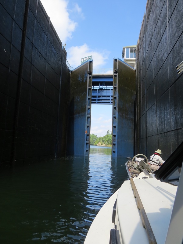
Blackberry Winter continued the next day and since we'd missed the soft shell crabs in Urbanna we decided that lunch in a warm restaurant really beckoned. The Virginia Street Cafe is locally famous for their soft shells and we had a terrific leisurely late lunch. We anchored in the creek in town for the night.
5/7-9
Our destination today was the Patuxent River. To get there we'd have to cross the 7 mile wide Potomac River mouth, a river mouth that frequently gets rough when wind and tide are opposed. We made our first attempt late morning. Seas were already at 3' and breaking before we cleared the bar at Smith Point so we decided to tuck into the Little Wicomico River and wait for conditions to improve. Fortunately the weather buoy at the river mouth is monitored and reported hourly by NOAA weather radio. When we heard wind speed had dropped to 8 knots and the current was slack we knew it was time to go. We planed across the river and up the shore to the Patuxent arriving well before dinner time and finding a sheltered anchorage on Mill Creek.
Winds of 15-20 knots with gusts to 30 were in the forecast for the next day so we just moved a few miles up river to St. Leonards Creek. We fished a bit along the way and at anchor but despite marking a lot of fish on the fish finder we had no bites.
As I sat in the cabin working on this blog that after noon I heard a splash and a yell. Admiral Peary had done a swan dive off the wheelhouse roof and was scrambling to get back aboard. He wasn't getting back aboard quick enough to suit Libbey so she jumped in to give him a hand. She held him up and I scooped him aboard with the landing net. I'd left the cabin door open so of course he has to run in there dripping water over everything except luckily my computer and camera. A scared cat and a wet wife but no real damage.
Today we ran from the Patuxent to the Rhode River just south of Annapolis. Tomorrow we'll be hosted at the East Point Yacht club and will be sharing stories with John Page and his friends.
5/10
John Page invited us to lunch at CBF and kindly loaned us his truck to do a grocery run. We ran from CBF to East Point Yacht Club and tied up for the night. After a great dinner of fish tacos and crab cakes washed down by Loose Cannon IPA (a great local brew) we shared our slides and stories with three very experienced and delightful boating couples.
5/11-14 Running Hard
We woke to a cold drizzle and knowing we have to return to the Chesapeake for a much more serious exploration we decided to put some miles behind us. We ran up the bay and were across the Chesapeake and Delaware Canal by 1:45 pm. Knowing Delaware Bay's reputation as a potentially snotty crossing we decided to take advantage of the flat seas and make the 56 mile run (or 52 mile run if you straight line the bay instead of following the ship channel). We entered the canal at Cape May and motored a few miles to Sunset Lake, a prosaic name for a heavily built up lagoon. This has been the longest mileage day of the trip-133 miles.
Our next big crossing is the 26 mile open water run from Manasquam Inlet to Sandy Hook then 10 miles across New York Harbor into the city. Weather looks doable for Saturday morning so we decide to take 2 days to poke across the 100 remaining miles of the NJ ICW. The first day is surprisingly pretty with lots of big marshes full of birds. Condos and summer homes to be sure but with more visual relief than expected.
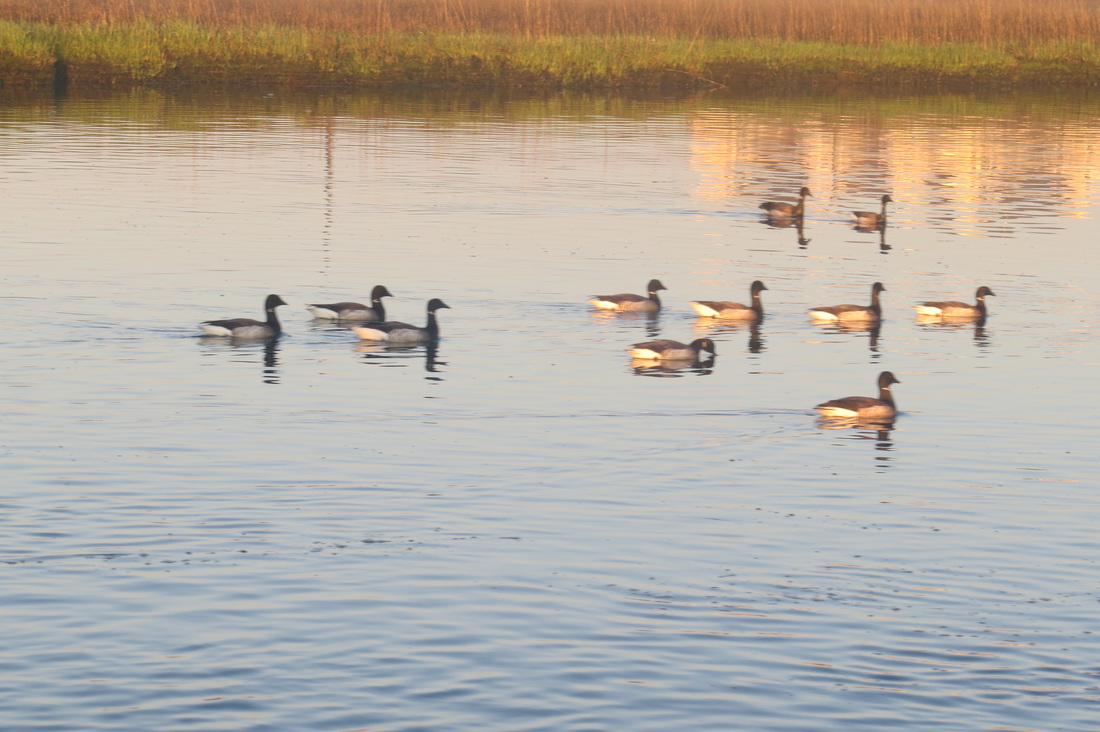
The second day was big open water-Great and Barnegat Bays. With the wind expected to pipe up in the afternoon we elect to put the boat on plane and ran for Port Pleasant. A quick stop for lunch and a walk at the Brielle Yacht Club and we were ready to anchor. By mid after noon we're anchored out in a pool known as the Glimmer Glass. Side by side summer houses surround us but we have a big flock of brant for company.
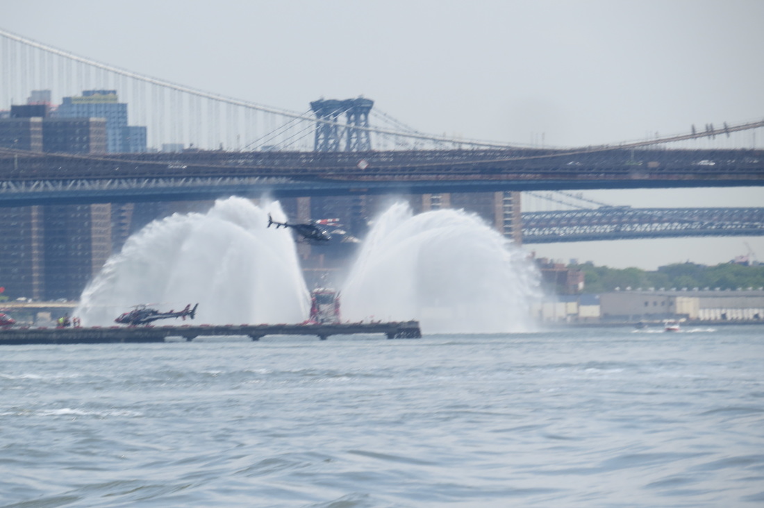
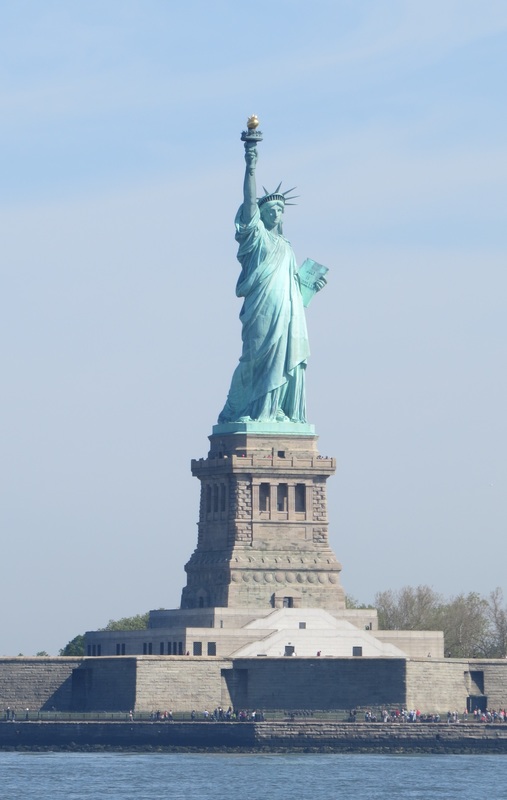
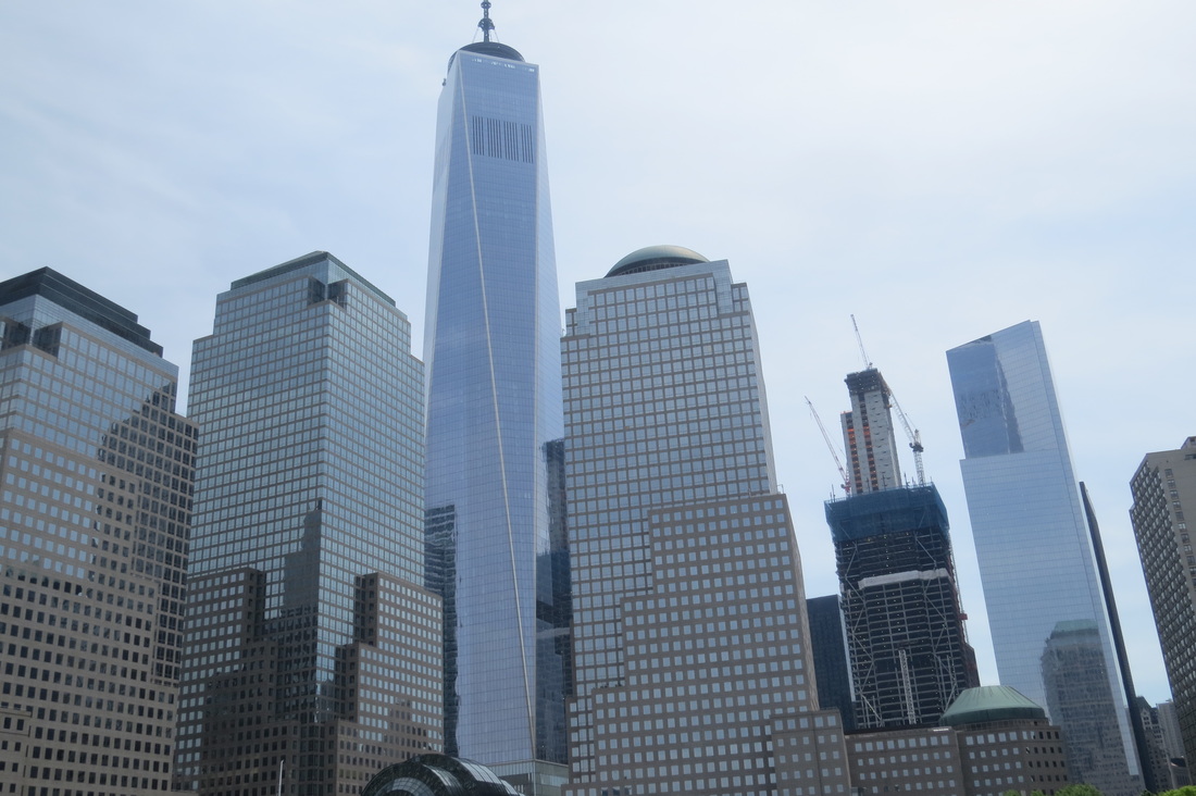
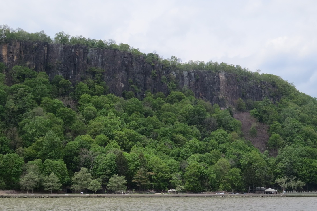
As predicted this morning was calm as glass and we're running by 6:15 a.m. By 10 a.m. We were anchored off Liberty Island sipping on coffee and photographing the statue. After a leisurely brunch we headed up the river in a building southerly breeze, the sort of wind that manages to follow the river's twists and turns. By mid afternoon we were able to find good cover behing the Stony Point National Historic Landmark. Hard to believe we're within a 100 miles of where we started in Troy NY.

 RSS Feed
